
More than just visuals.
Professional aerial imaging and videography solutions serving Sealy, Austin County and surrounding areas.
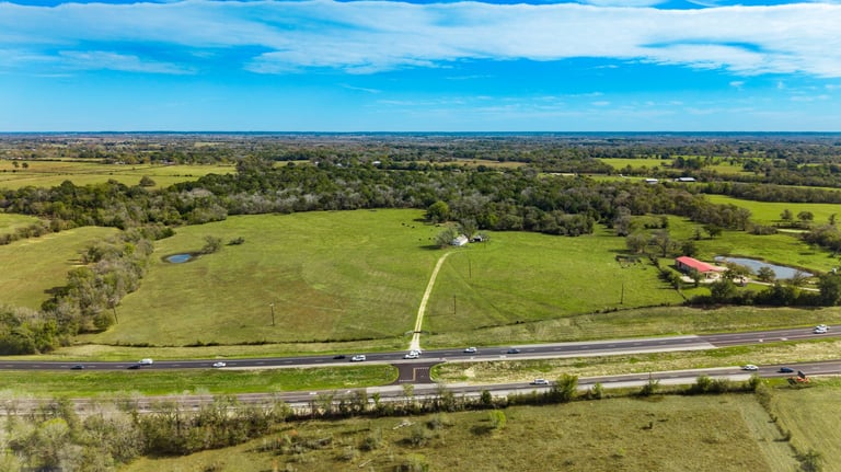
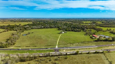
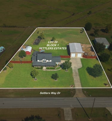
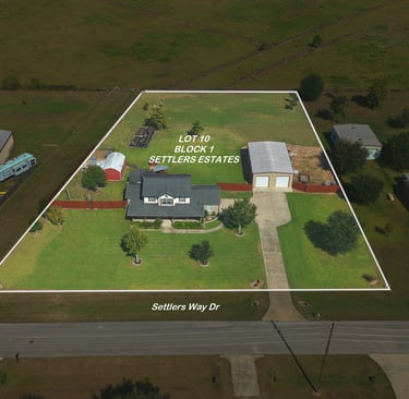
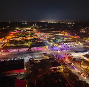
Real estate imaging that captivates buyers.
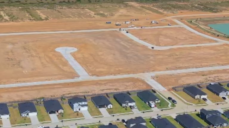
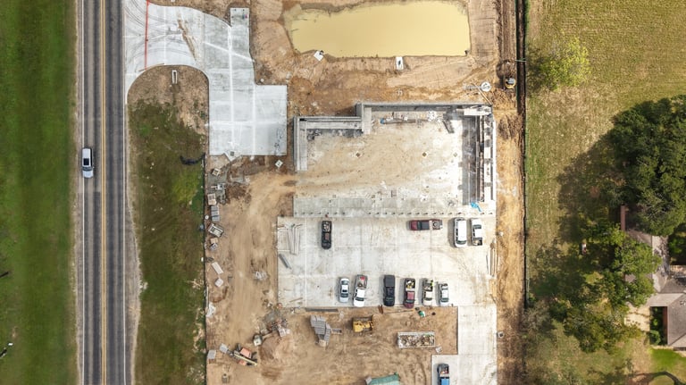
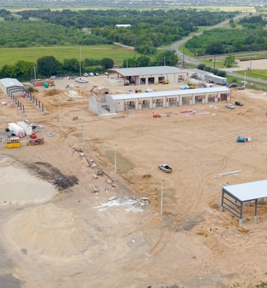
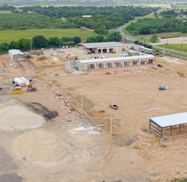
Drone services deliver fast, site insights that streamline land development decision-making.
Accurate aerial assments for reliable data.


Our Services
Expert drone services for stunning aerial imaging and precise data collection.

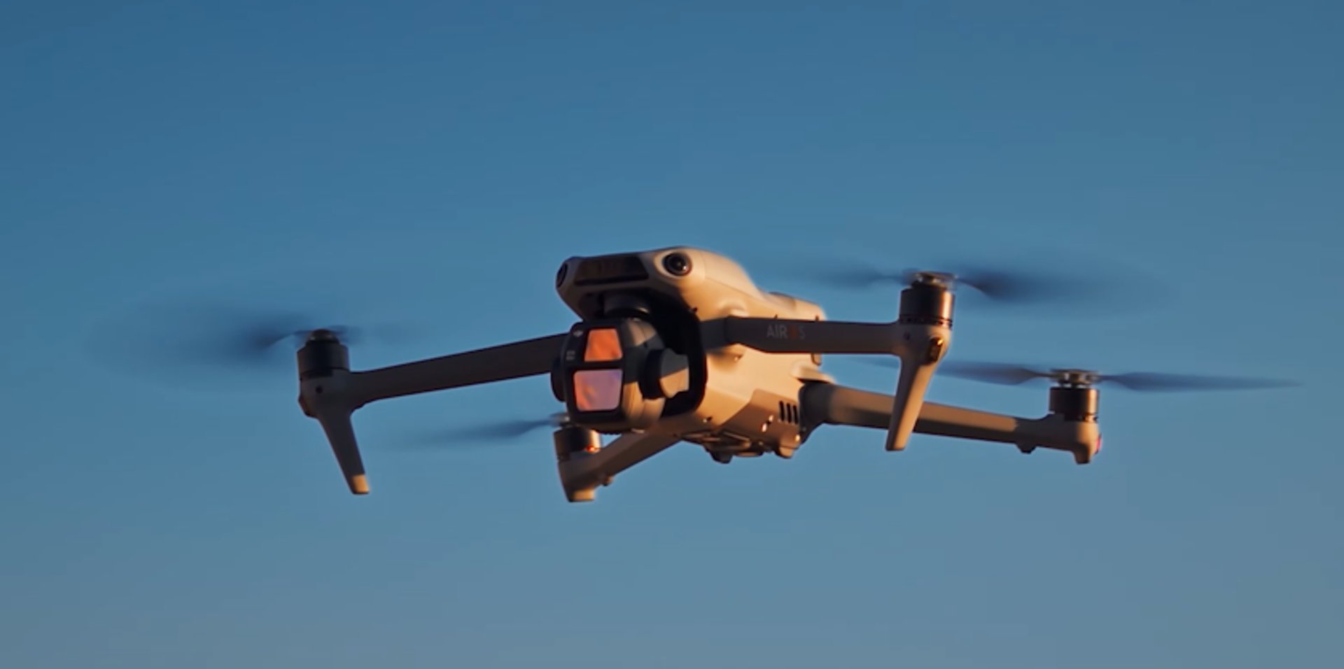
Your trusted partner in capturing aerial imagery and dynamic aerial videography, we specialize in delivering high quality visuals and accurate data tailored to your needs that elevate your perspective and bring your vision to life.
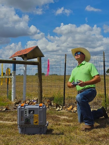
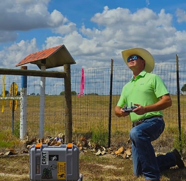
Jim Statham, a FAA Part 107 certified remote pilot with 30+ years of land-survey experience, leverages his oil and gas project background to deliver precise aerial imaging and data solutions through his drone services company, Tejas UAS LLC, serving Sealy, Austin County and surrounding areas.
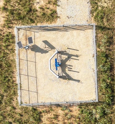
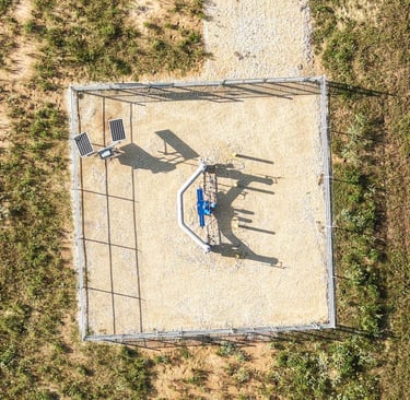
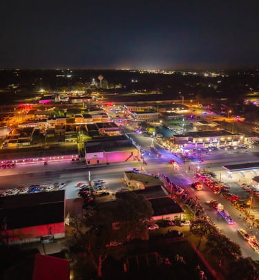
Explore a sample of our stunning aerial imaging and videography.
Set quality to HD in settings for best viewing


Service Area
Based in Sealy, Texas, Tejas UAS proudly supports clients across Southeast Texas.
Austin County- Bellville, Sealy, Wallis
Brazos County- Bryan / College Station
Colorado County-Columbus, Eagle Lake
Fayette County-Fayetteville, La Grange, Round Top, Schulenburg
Fort Bend County-Fulshear, Needville, Richmond / Rosenberg
Grimes County- Navasaota, Anderson
Harris County- Katy, West Houston
Waller County- Brookshire, Hempstead, Pattison, Waller
Washington County- Brenham, Burton, Chappell Hill
Wharton County- East Bernard, El Campo, Wharton