

About Tejas UAS
Your trusted partner in capturing aerial imagery and dynamic aerial videography, we specialize in delivering clear visuals and accurate data tailored to your needs. Whether you're showcasing real estate, sharing events, conducting inspections, or monitoring construction progress, we provide high-quality aerial solutions that elevate your perspective and bring your vision to life.
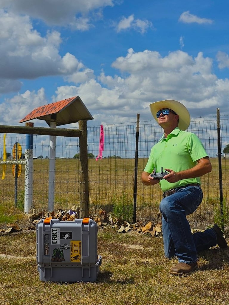
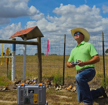
Jim Statham is a land survey professional with over 30 years of experience, including 26 years in the oil and gas industry. He currently manages capital projects as a project coordinator for large O&G pipeline clients. Leveraging decades of field expertise in mapping and geospatial analysis, Jim recently launched Tejas UAS LLC, a drone services company focused on aerial imaging and data solutions.
As an FAA Part 107 Certified Remote Pilot, Jim provides reliable and professional drone services tailored to real estate marketing, aerial videography, orthomosaic mapping, and construction progress documentation. Rooted in Jim’s background in large-scale infrastructure and energy projects, Tejas UAS currently offers focused, scalable drone services with plans to expand as the business grows. Tejas UAS combines technical precision with a creative eye, delivering quality visuals and data clients can trust.
The name "Tejas" is derived from a Native American Caddo word meaning "friend" or "ally". That word eventually evolved into Texas. Jim, a history enthusiast, selected this name to honor the qualities that define Texas and to reflect his commitment to making Tejas UAS a trusted partner and ally in sharing unique perspectives.
Service Area
Based in Sealy, Texas, Tejas UAS proudly supports clients across Southeast Texas.
Austin County- Bellville, Sealy, Wallis
Brazos County- Bryan / College Station
Colorado County-Columbus, Eagle Lake
Fayette County-Fayetteville, La Grange, Round Top, Schulenburg
Fort Bend County-Fulshear, Needville, Richmond / Rosenberg
Grimes County- Navasaota, Anderson
Harris County- Katy, West Houston
Waller County- Brookshire, Hempstead, Pattison, Waller
Washington County- Brenham, Burton, Chappell Hill
Wharton County- East Bernard, El Campo, Wharton